
Yuexiu
Little Africa
The street-bounded Baohan visitor core around Baohan Zhijie, historically associated with Guangzhou’s African trading community and international shops, restaurants and Muslim food.
Open on the map →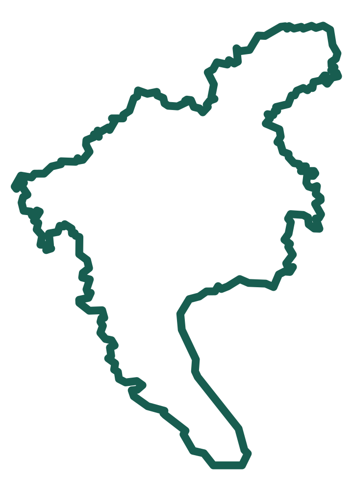 Zou GuangzhouPlan, Share, Zou!
Curated Guangzhou guide
The best Guangzhou walks are areas and connected streets, not isolated pins. These guides explain the shape of each place and then open it directly on the interactive map.
View this collection on the map →The street-bounded Baohan visitor core around Baohan Zhijie, historically associated with Guangzhou’s African trading community and international shops, restaurants and Muslim food.
Open on the map →
Sanyuanli is a historic village neighborhood now undergoing major redevelopment. The cleaned outline follows the mapped major-road envelope around the wider renewal context, while the center point remains on the Sanyuan Ancient Temple / Sanyuanli heritage site.
Open on the map →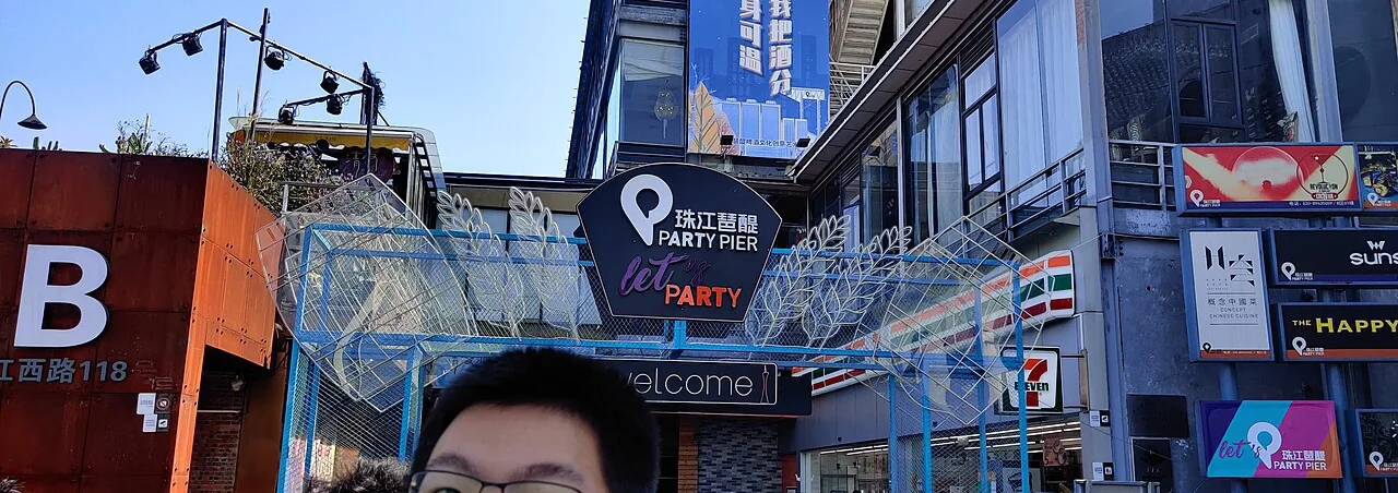
A riverside nightlife area full of restaurants, bars and nightclubs.
Open on the map →
Explore Jiangnan West Road, Baoye Road and the mapped Qing- and Zi-named side streets for restaurants, cafés and small shops.
Open on the map →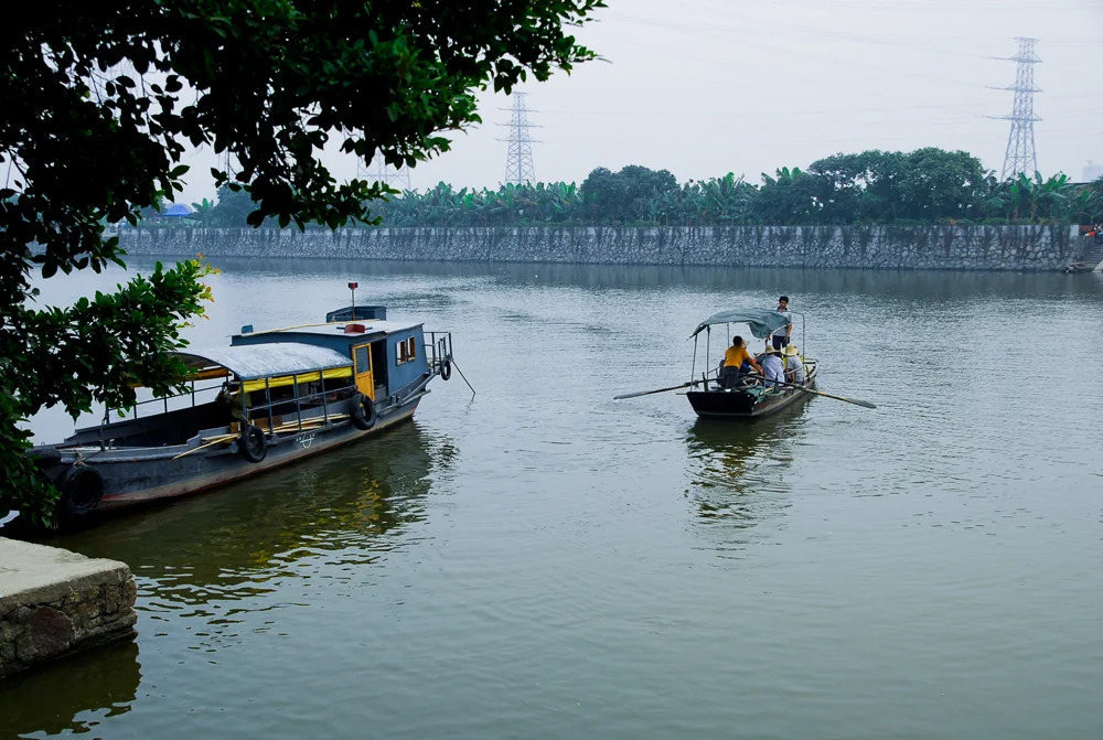
A historic walking area connecting Huangpu Ancient Village, Huangpu Straight Street, ancestral halls, the maritime-customs memorial and the oldest port of Guangzhou.
Open on the map →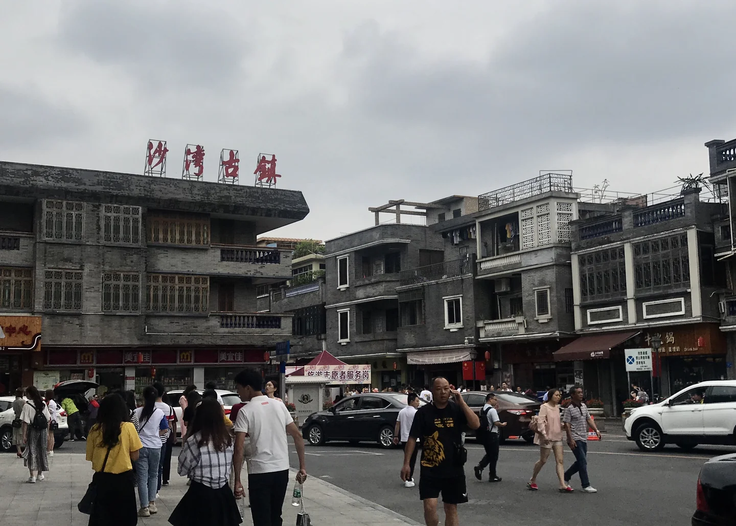
The shaded area covers Shawan's historic-town core, including its traditional lanes and ancestral-hall district — not the much larger modern Shawan subdistrict.
Open on the map →
An open-air food and drink district directly across Zhongshan 7th Road from Chen Clan Ancestral Hall, with restaurants, cafés and an easy walk through the Youngtown complex.
Open on the map →
A shaded Xiguan heritage block of traditional lanes and residences between Baohua Road and the Yaohua streets, with the stone-paved Yaohua Street as its clearest photography focus.
Open on the map →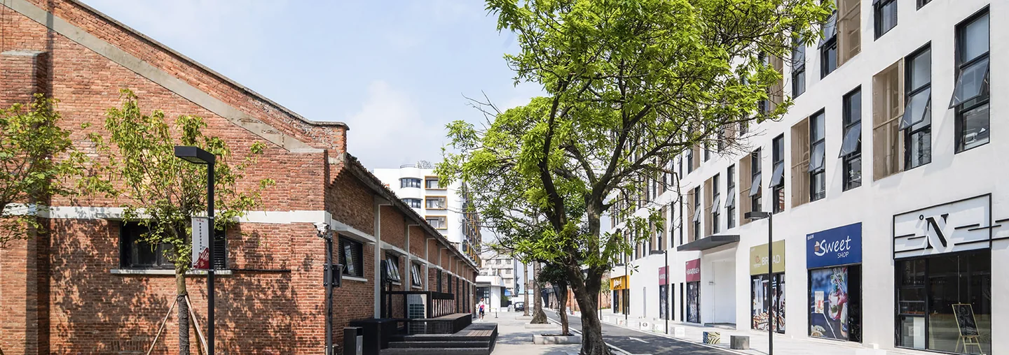
A shaded riverside walking area through a creative campus in converted industrial buildings, combining murals, art and casual commercial spaces.
Open on the map →
A walk-around creative compound adapted from an old industrial site, with preserved red-brick and Soviet-influenced buildings, small shops, cultural spaces and photo settings.
Open on the map →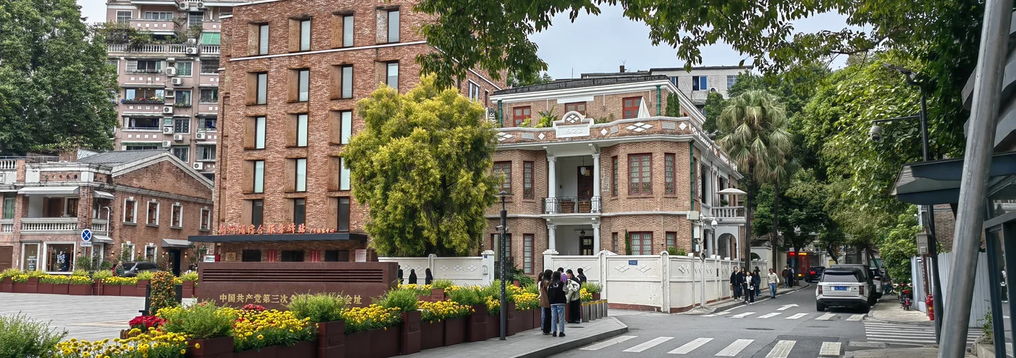
Spend a few hours getting lost in the old streets of Dongshankou, known for red-brick villas, traditional style mansions, art galleries, coffee shops, bakeries and trendy clothing stores.
Open on the map →
A shaded food-and-drink district of small lanes, restaurants, casual bars and evening hangouts between Tianhe South 1st Road, Tiyu West Road, Tiyu East Road and Huangpu Avenue West.
Open on the map →
An entire street dedicated to undergraments such as underwear, pajamas, socks, hosiery and leggings. You can also find swimwear and other small accessories.
Open on the map →
Lychee Bay is best understood as a canalside walking area rather than a single attraction. The highlighted route follows the water corridor while visitors use the adjacent public streets and paths.
Read the local guide →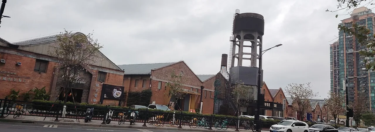
Explore Taigucang’s former riverside warehouses, waterfront promenade and linked Taigucang One commercial area. The highlighted district brings together historic wharf buildings, food and drink spots, creative spaces and river views for a relaxed walk.
Open on the map →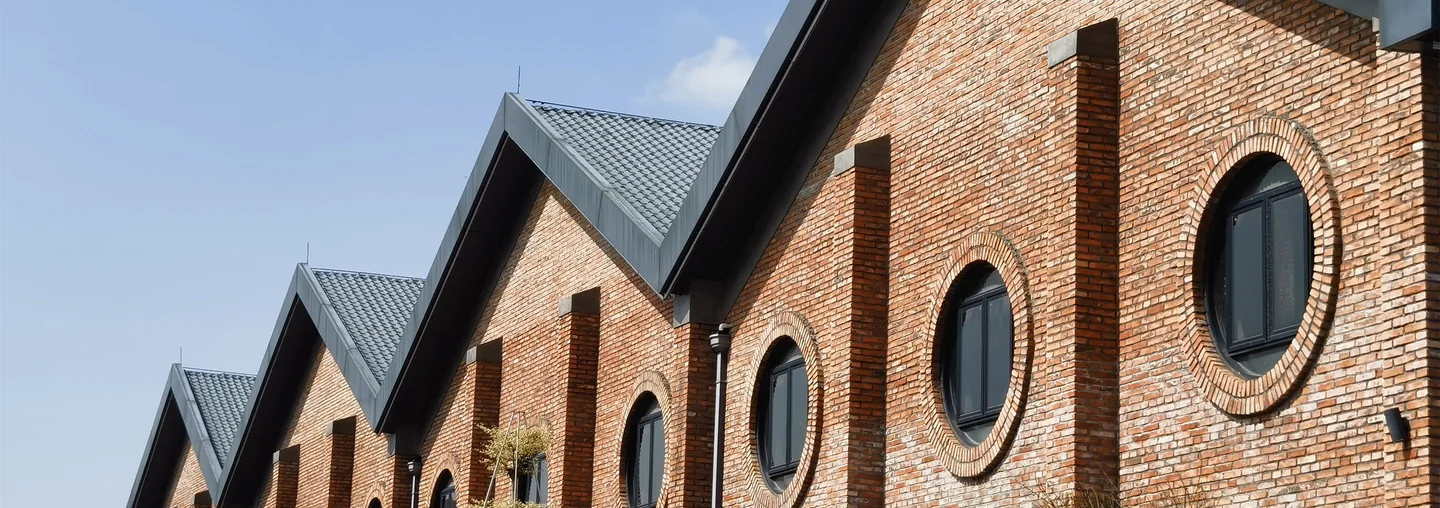
Wander through a former riverside granary transformed into a creative park, with old warehouse lanes, cafés, studios and Pearl River views. The highlighted area covers the mapped park grounds for an unhurried walk.
Open on the map →
Xihua Road works as a food corridor rather than one enclosed market. The map highlights the full practical section between Liwan Road and Renmin North Road, while individual restaurants can be considered separately.
Read the local guide →
A dense Tianhe neighborhood of narrow lanes, local shops and everyday city life. Explore the old village around Fengyuan Dajie, Changgeng Dajie and Lvhe West Dajie.
Open on the map →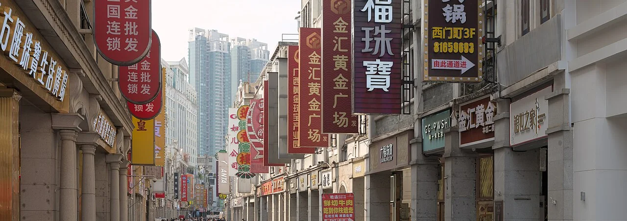
Shangxiajiu is a traditional Liwan shopping and walking area extending beyond a single road label. The current highlighted line marks the Xiajiu Road section while the wider commercial district continues around it.
Read the local guide →