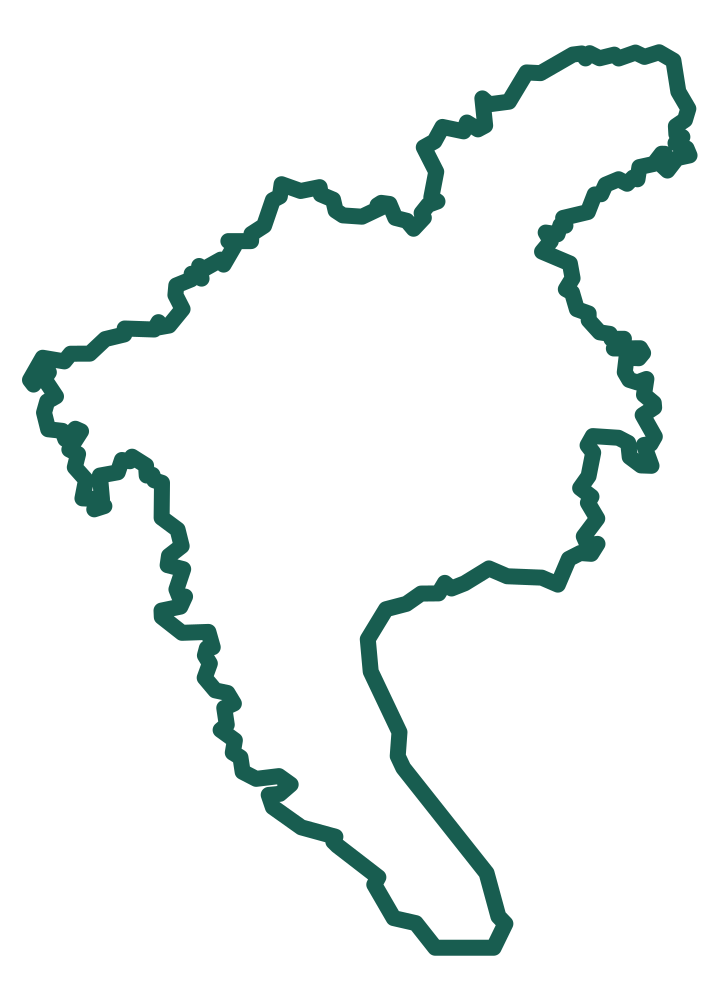
These walks prioritize connected streets, canals and neighborhoods. Each destination page explains the area before opening the complete geometry on the map.
Lychee Bay is best understood as a canalside walking area rather than a single attraction. The highlighted route follows the water corridor while visitors use the adjacent public streets and paths.
Yongqing Fang is the polished visitor core of the wider Enning Road and Xiguan historic area. The mapped area focuses on the pedestrian section around the Cantonese Opera Art Museum while showing how it connects with the surrounding old streets.
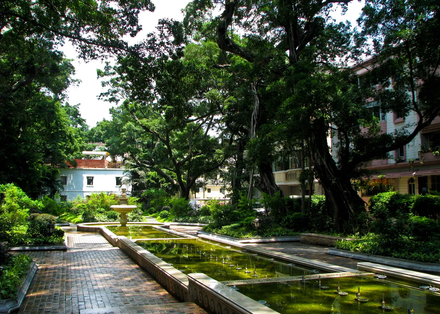
Shamian Island is a compact riverside district in Liwan that works especially well as a self-guided walk. Zou Guangzhou maps the island as one complete area so visitors can understand its scale before choosing their route.
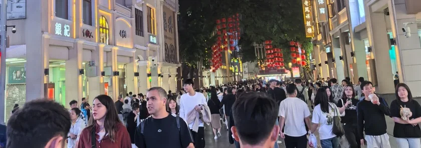
Beijing Road is one of Guangzhou’s busiest central walking and shopping districts. Zou Guangzhou treats it as a pedestrian area rather than reducing it to one pin, making it easier to see the main car-free zone and nearby streets.
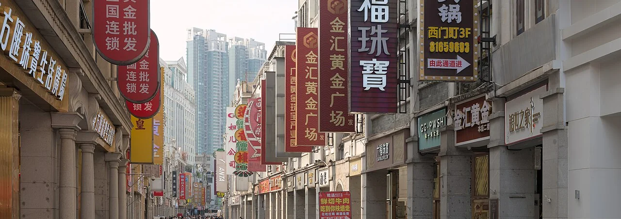
Shangxiajiu is a traditional Liwan shopping and walking area extending beyond a single road label. The current highlighted line marks the Xiajiu Road section while the wider commercial district continues around it.